
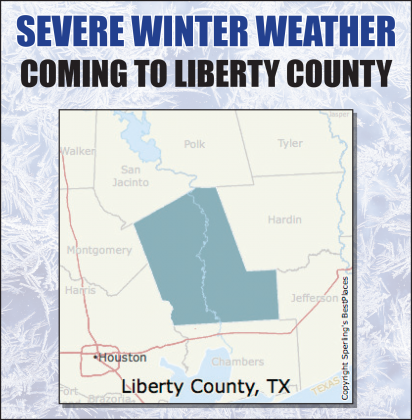
Urgent-Winter Storm Watch in effect for all of Liberty County
URGENT - WINTER WEATHER MESSAGE
National Weather Service Houston/Galveston TX
WINTER STORM WATCH HAS BEEN ISSUED FOR SOUTHEAST TEXAS FROM
SUNDAY AFTERNOON THROUGH MONDAY AFTERNOON...
* WHAT...Periods of snow, freezing rain, and sleet will impact Southeast Texas. Snowfall amounts will total approximately 1-3" with the highest totals falling north of the Houston metro. Areas in and north of the Houston metro are also expected to receive 0.1-0.25" of accumulating ice. Areas south of the Houston metro, including the coast and barrier islands, may receive ice amounts of 0.1" or less.
* WHERE...All of Southeast Texas.
* WHEN...Precipitation will begin on Sunday afternoon as mainly rain, transitioning to sleet and freezing rain overnight and becoming a mix of snow, sleet, and freezing rain on Monday morning. Precipitation will taper off by Monday evening.
PRECAUTIONARY/PREPAREDNESS ACTIONS...
* A Winter Storm Watch means there is a potential for significant snow...sleet...or ice accumulations that may impact travel. Continue to monitor the latest forecasts.
* Travel will be severely impacted by hazardous icy and snowy road conditions. Sporadic power outages will be a possibility. Pipes and sprinkler systems may burst if not properly cared for in
advance. Do so now!
* You should plan to stay put for at least a day given where you are Sunday night because travel may be extremely hazardous Monday.
* Hypothermia will be a possibility for those not dressed appropriately. Brutally cold wind chill readings of -10 to 10 degrees will be likely Monday through Tuesday morning.
* Remember the 4 P`s: pipes, people, pets and plants. In addition, be aware of space heater dangers if not properly placed/used.